

1/2


Addis Ababa, Bole, 1 day ago
8 views
Esri Arcgis Pro 3.4.2 Full X64 / Server Enterprise 10.5
ESRI ArcGIS Pro
Software Name
3D Modeling
Type
Windows
Platform
Digital Download
Format
3.4.2
Software Version
Enterprise Use
Usage
Lifetime
License Duration
Other
Number of Users
32GB
Storage Required
8MB
RAM Required
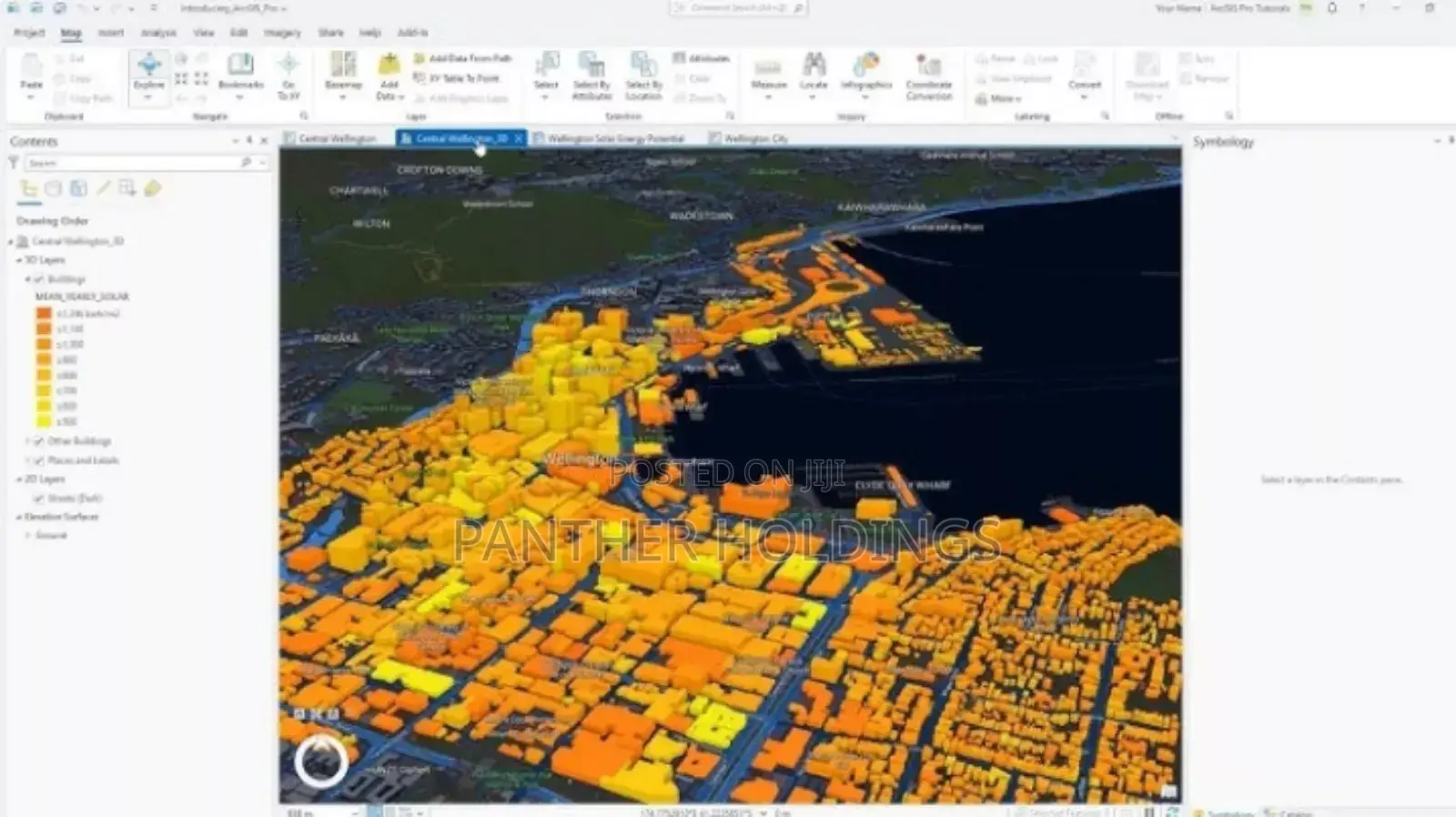
ArcGIS is a geographic information system (GIS) software system developed by Esri. It's a comprehensive platform for creating, managing, analyzing, mapping, and sharing all types of geographic data. ArcGIS integrates and connects data through the context of geography, enabling users to visualize and analyze spatial information.
Safety tips
- Avoid paying in advance, even for delivery
- Meet with the seller at a safe public place
- Inspect the item and ensure it's exactly what you want
- Make sure that the packed item is the one you've inspected
- Only pay if you're satisfied


